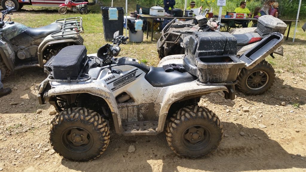
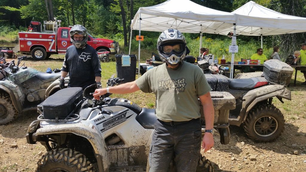
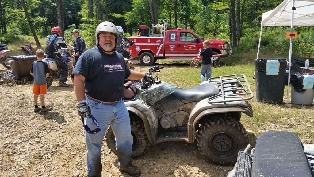
Me and a couple buddies went out to a poker run in Blue Knob, PA. Great turn out from what I could see there were about 1,000 people. I had my Grizzly one guy had his Kodiak and we even let one Polaris Scrambler tag along.


So we loaded up on Thursday and took off.

This area had been getting thunderstorms for three days in a row and we drove thru a flash flood when we arrived in Springfield. We were not sure what we would be in for on the trails. It stopped raining early Friday morning and we left the hotel and headed to the riding area.
Wow this place is awesome! All the rain actually made the ride a lot more fun and interesting. The area is all rock with very little mud. There is a lot of technical riding in this area. The trails are located on ridge tops and down in the valleys. Getting up and down the hills from valley to ridge top was very challenging at times. We rode 25 miles in about 7hrs including much needed breaks. LOL


Got to try out the Viper winch. Worked great!


This is how much water there was running down the trails in the valleys. We had to turn back at one such crossing early in the ride. It was like white water rapids. Later in the day we were able to make the crossing when the water slowed down a bit.


And just when we thought we were done crossing water for the day!

In summary we had a blast! We talked about the ride and how well the Grizzlies handled everything we threw at them all the way back home. It was a great trip and we can’t wait to get back there. We only covered parts of the northern half of the area. We never made it to the southern half. That will be the goal for the next trip!
I would say this is the go to place in Missouri!
We decided to get away from our lot at Cascade Idaho for the day so we took off that morning and knew it was planned to be a long ride, but ended up being a little longer than we thought…We ended up with 248 miles leaving on the 4th at 8:00am and returning at 12:04am(16 hours) on the 5th, with no sleep overs anywhere along the way..
For those of you locally in SW Idaho…. We left our lot on West Mt Rd(by Tamarack) and met up with 2 other couples and crossed hiway 55 at Clear Creek Station and then south by Herrick Res to Sixty Ln in Round Valley and up to the south end of East Mt trail and road it to Cougar rock heading to Stolle Meadows but had to turn around due to road closure.. So we back tracked and made our way to the Warm Lake road(here in Idaho we can ride county roads legally) and went to Warm Lake Lodge and bout some ice for our coolers..From there we continued up the hiway to Landmark and took a left on Johnson creek rd.. From there we took the old Thunder Mt Trail to Riordan Lake , from there we took a new trail(something our local club and Forest Service have been working on for a couple years) to connect(loop) to the road that goes to Meadow Mt Lookout.. Then we went to the road that drops into Stibnite and on into Yellow Pine and was happy to pay $5 a gallon for fuel(we weren’t totally prepared for this far even though we all packed extra gas for trip).. We left there just as fireworks were starting and headed for home down Johnson creek again to the warm Lake hiway and into Cascade just as everyone was leaving the show there .. Made our way through traffic and around south end of lake and back up West Mountain road to our lot…. It was a great day!!!!! Here are a few pics from the day….
 This image has been resized. Click this bar to view the full image. The original image is sized 1024×768.
 This image has been resized. Click this bar to view the full image. The original image is sized 1024×768.
 This image has been resized. Click this bar to view the full image. The original image is sized 1024×768.
 This image has been resized. Click this bar to view the full image. The original image is sized 1024×768.
 This image has been resized. Click this bar to view the full image. The original image is sized 1024×768.
 This image has been resized. Click this bar to view the full image. The original image is sized 1024×768.
 This image has been resized. Click this bar to view the full image. The original image is sized 1024×768.
 This image has been resized. Click this bar to view the full image. The original image is sized 1024×768.
 This image has been resized. Click this bar to view the full image. The original image is sized 1024×768.
We decided to get away from our lot at Cascade Idaho for the day so we took off that morning and knew it was planned to be a long ride, but ended up being a little longer than we thought…We ended up with 248 miles leaving on the 4th at 8:00am and returning at 12:04am(16 hours) on the 5th, with no sleep overs anywhere along the way..
For those of you locally in SW Idaho…. We left our lot on West Mt Rd(by Tamarack) and met up with 2 other couples and crossed hiway 55 at Clear Creek Station and then south by Herrick Res to Sixty Ln in Round Valley and up to the south end of East Mt trail and road it to Cougar rock heading to Stolle Meadows but had to turn around due to road closure.. So we back tracked and made our way to the Warm Lake road(here in Idaho we can ride county roads legally) and went to Warm Lake Lodge and bout some ice for our coolers..From there we continued up the hiway to Landmark and took a left on Johnson creek rd.. From there we took the old Thunder Mt Trail to Riordan Lake , from there we took a new trail(something our local club and Forest Service have been working on for a couple years) to connect(loop) to the road that goes to Meadow Mt Lookout.. Then we went to the road that drops into Stibnite and on into Yellow Pine and was happy to pay $5 a gallon for fuel(we weren’t totally prepared for this far even though we all packed extra gas for trip).. We left there just as fireworks were starting and headed for home down Johnson creek again to the warm Lake hiway and into Cascade just as everyone was leaving the show there .. Made our way through traffic and around south end of lake and back up West Mountain road to our lot…. It was a great day!!!!! Here are a few pics from the day….
This image has been resized. Click this bar to view the full image. The original image is sized 1024×768.
This image has been resized. Click this bar to view the full image. The original image is sized 1024×768.
This image has been resized. Click this bar to view the full image. The original image is sized 1024×768.
This image has been resized. Click this bar to view the full image. The original image is sized 1024×768.
This image has been resized. Click this bar to view the full image. The original image is sized 1024×768.
This image has been resized. Click this bar to view the full image. The original image is sized 1024×768.
This image has been resized. Click this bar to view the full image. The original image is sized 1024×768.
This image has been resized. Click this bar to view the full image. The original image is sized 1024×768.
This image has been resized. Click this bar to view the full image. The original image is sized 1024×768.
Drove around Mercer/Hurley area then did a long trek. Went from Mercer to Watersmeet Michigan. Followed HWY 2 trail up there, beautiful trails, weather didnt look good so we decided to head back.
Put 600 Miles on the grizzly!
Fit the grizzly on the back with tail gate shut.


His 2WD rancher stuck lol


Tight trails along HWY2


Whats this in my way!!??

turtle lol

Love riding thru tomato soup


Grizz is little manlier ;P

Old mine we found


LUNCH!!!!

View from his cabin on Pine Lake!

Cleanup time ughhhhhh

I dropped all skid plates and scrubbed it all

I had put off going here because I could not justify the 2 1,2 hour drive for 26 miles of trails. What I did not realize is to access that 26 miles of trails you do a lot of riding on the county and forestry roads. So in 5 hrs of riding we covered trails 3,4,12 and 10. We had a very enjoyable ride and and we will definitely be going back to cover the other trails. Looking forward to doing a trip there in the fall.
So here are a few pics.
Here is my wife on the bridge crossing one of the many streams.


Lush green trail.

One of the streams.

The west fork of the Black River.


804 grizzly, barkers, bazzaz, kn, grizzly full flow, EFX 30" Motoboss tires.
https://www.youtube.com/watch?v=Jpq2NitDVHE
I realize my videos may not be of extreme riding and just more of exploring BC
But I do hope it inspires you to get out and enjoy the great out doors.
_________________
Check out my Youtube channel
https://www.youtube.com/channel/UCNI…view_as=public